
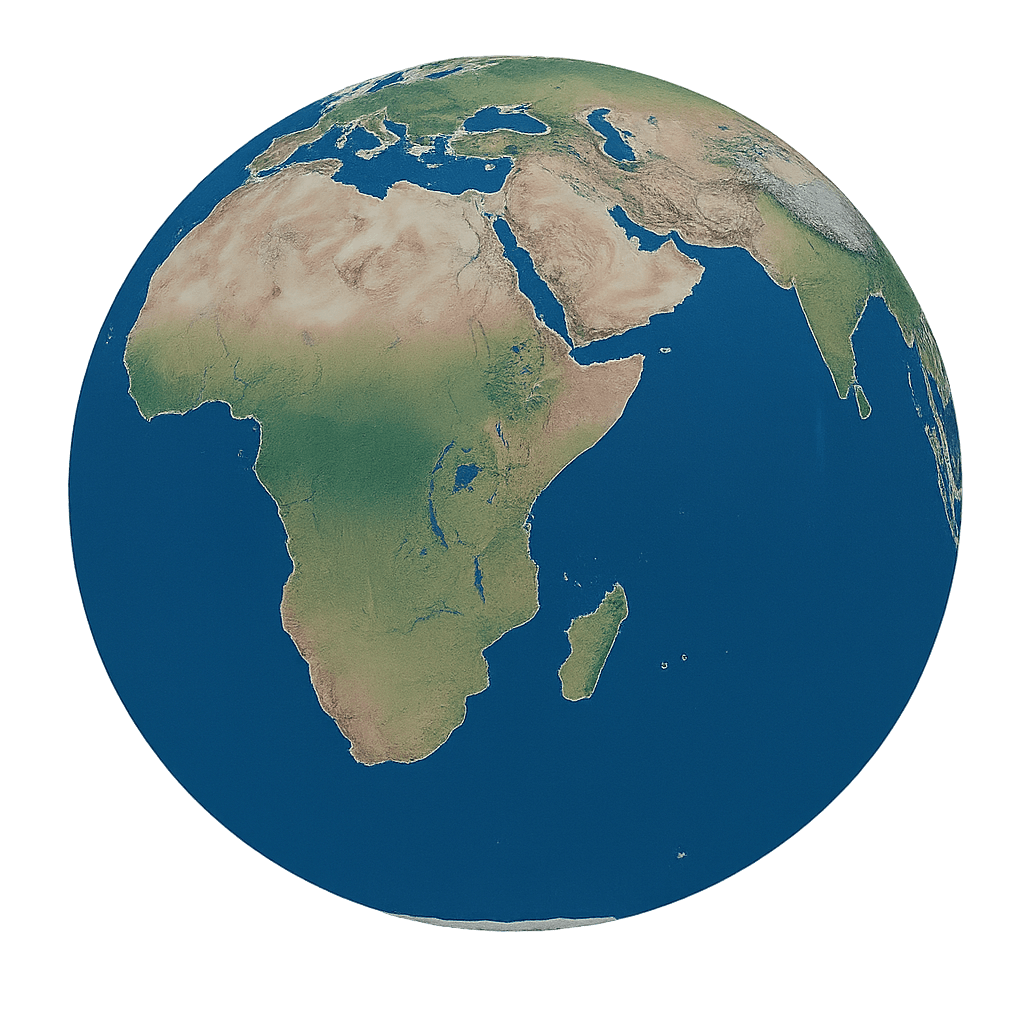
Satellite maps track rice planting across Monsoon Asia
A new 20-meter satellite mapping method traces where and when paddy rice is planted across Monsoon Asia from 2018 to 2021. The approach could sharpen food-security planning, irrigation decisions, and climate-impact estimates in a region that produces and consumes most of the world’s rice.
Why it matters: - Accurate maps of rice planting intensity and dates can improve food-production estimates, irrigation planning, methane-emissions analysis, and climate-adaptation planning. - Monsoon Asia accounts for most global rice production and consumption, so better monitoring in the region has outsized food-system impact. - The new approach is designed for places where cloud cover, small fragmented fields, and uncertain farm statistics make rice monitoring difficult.
What happened: - A research team led by the Jockey Club STEM Lab of Quantitative Remote Sensing at The University of Hong Kong developed a satellite-based method for mapping paddy rice cropping intensity and planting dates across Monsoon Asia. - The study was published on April 14, 2026, in Journal of Remote Sensing. - The paper covers 2018 to 2021 and uses Sentinel-1 radar data at 20-meter resolution. - The full study is available here.
The details: - The method combines radar, optical, thermal, and soil-moisture observations to identify rice transplanting signals more reliably across monsoon farming systems. - Potential croplands were first identified using existing cropland maps. - Sentinel-1 VH-polarized backscatter time series were then processed to extract candidate transplanting signals as radar backscatter troughs. - The algorithm tests each candidate signal using five features: timing, backscatter value, trough width, prominence, and sharpness. - Sentinel-2 enhanced vegetation index time series, land surface temperature, and SMAP soil moisture data help reduce false detections. - Annual cropping intensity is calculated from the number of validated transplanting signals per year. - Planting dates are derived from the timing of those confirmed signals. - Validation against 2,305 self-collected reference samples and 1,484 public samples produced accuracy of about 82% to 84%. - Planting-date estimates matched the RiceAtlas dataset closely, with an R² of 0.92 and an RMSE of 28 days. - The maps captured single-rice, double-rice, and triple-rice systems across the region. - From 2018 to 2021, single-rice areas generally declined while double- and triple-rice areas increased in Monsoon Asia.
Between the lines: - The work addresses a common remote-sensing problem: low radar backscatter can signal rice transplanting, but it can also reflect flooding, snow or ice, sparse vegetation, soil-moisture shifts, or noise. - The method is built to transfer across a large region with diverse cropping calendars rather than depend heavily on dense field surveys or local statistics. - A rise in double- and triple-cropping suggests intensification in several major rice-producing countries, though the paper frames this as a regional pattern rather than a country-by-country policy claim.
What's next: - Future work could extend the maps to longer time periods. - The researchers said detection could improve in rainfed or highly fragmented paddy fields. - The maps could be paired with crop-yield models, water-management systems, and agricultural early-warning platforms. - The study was funded by the Hong Kong Jockey Club Charities Trust Global STEM Professorship Scheme and a General Research Fund grant from the Research Grants Council of Hong Kong.
Disclaimer: This article was produced by AGP Wire with the assistance of artificial intelligence based on original source content and has been refined to improve clarity, structure, and readability. This content is provided on an “as is” basis. While care has been taken in its preparation, it may contain inaccuracies or omissions, and readers should consult the original source and independently verify key information where appropriate. This content is for informational purposes only and does not constitute legal, financial, investment, or other professional advice.
Sign up for:
Asia Pacific News Network
The daily local news briefing you can trust. Every day. Subscribe now.
Check Your Email!
We sent a one-time activation link to: .
Confirm it's you by clicking the email link.
If the email is not in your inbox, check spam or try again.
Welcome back!
is already signed up. Check your inbox for updates.